Россия, Сергиев Посад


СДЕЛАЙТЕ СВОИ УРОКИ ЕЩЁ ЭФФЕКТИВНЕЕ, А ЖИЗНЬ СВОБОДНЕЕ
Благодаря готовым учебным материалам для работы в классе и дистанционно
Скидки до 50 % на комплекты
только до
Готовые ключевые этапы урока всегда будут у вас под рукой
Организационный момент
Проверка знаний
Объяснение материала
Закрепление изученного
Итоги урока
Была в сети 20.11.2024 13:18

Джим Наталия Викторовна
Филолог, преподаватель
 972
 69 854

Местоположение
Специализация
"Interaction Between Markets, Land Registration, Spatial Planning»
Категория:
Английский язык
19.12.2021 17:34

Просмотр содержимого документа
«"Interaction Between Markets, Land Registration, Spatial Planning»»
Презентация по английскому языку по теме: «Interaction Between Markets, Land Registration, Spatial Planning»
Работу выполнила
Студентка
Соболева Анастасия
Группы СЗО-091
Преподаватель: Джим Наталия Викторовна

Interaction Between Markets
- Land markets provide a mechanism for the allocation of ownership and use rights that is typically for the most valuable single class of asset in an economy. At the same time land use and sometimes land ownership frequently have influences on other aspects of society's economic and non-economic interests.

Land markets are made up of a constantly developing portfolio of legal interests and transaction types. This portfolio of transaction types includes sale, rental, sharecropping, and licenses, together with associated derivative transactions including mortgages and mortgage markets, and other real estate interests.
- Some of these transaction types are lly registrable in those jurisdictions that have formal registration institutions, including sales, mortgages, some leases, and some third party interests. Many are not, including particularly those "less" formal interests such as shorter term of leases or rental agreements, sharecropping agreements and licenses, derivative interests operating "upstream" of the registrable interests such as secondary mortgage market, and some customary rights.
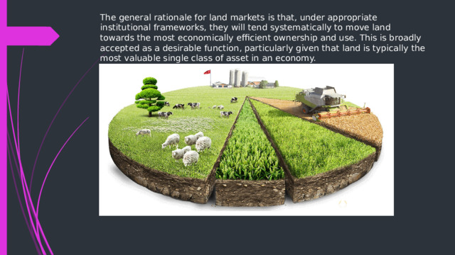
The general rationale for land markets is that, under appropriate institutional frameworks, they will tend systematically to move land towards the most economically efficient ownership and use. This is broadly accepted as a desirable function, particularly given that land is typically the most valuable single class of asset in an economy.

Competition is a form of interaction between market entities, a mechanism for regulating market proportions, a set of methods, and an economic process. As a form of interaction of market entities, competition is a multifaceted process that is accompanied by competition for increasing production volumes, expanding sales markets, and sources of raw materials and materials. Acting as a mechanism for regulating proportions, competition makes it possible to determine the magnitude of economic regulators, which are prices, the rate of profit, the rate of interest on capital and a number of others.

land registration
- Land registration generally describes systems in which matters relating to ownership, tenure, or other rights to land can be registered (usually with a government agency or department) to confirm title, facilitate transactions, and prevent illegal disposition. The information recorded and the protection provided depend on the jurisdiction
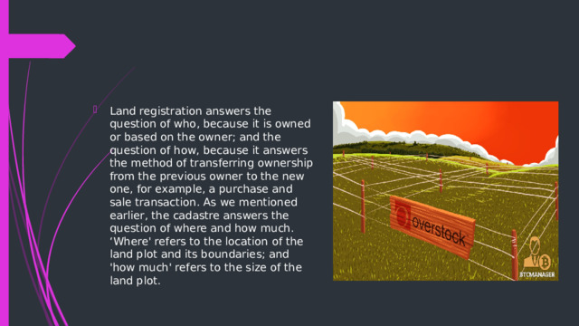
- Land registration answers the question of who, because it is owned or based on the owner; and the question of how, because it answers the method of transferring ownership from the previous owner to the new one, for example, a purchase and sale transaction. As we mentioned earlier, the cadastre answers the question of where and how much. ‘Where' refers to the location of the land plot and its boundaries; and 'how much' refers to the size of the land plot.
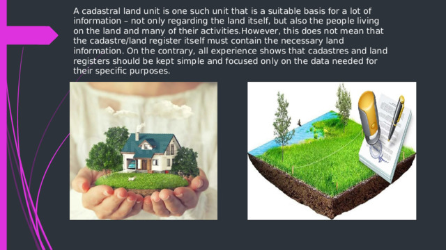
A cadastral land unit is one such unit that is a suitable basis for a lot of information – not only regarding the land itself, but also the people living on the land and many of their activities.However, this does not mean that the cadastre/land register itself must contain the necessary land information. On the contrary, all experience shows that cadastres and land registers should be kept simple and focused only on the data needed for their specific purposes.

spatial planning
- Spatial planning is mostly recognized as a public sector function with the purpose of influencing future spatial distribution of activities. The aim is to create a more rational territorial organization of land use and the linkages between them, to balance demands for development with the need to protect the environment, and to achieve social and economic objectives .
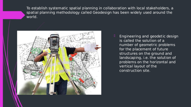
To establish systematic spatial planning in collaboration with local stakeholders, a spatial planning methodology called Geodesign has been widely used around the world.
- Engineering and geodetic design is called the solution of a number of geometric problems for the placement of future structures on the ground and landscaping, i.e. the solution of problems on the horizontal and vertical layout of the construction site.

When solving horizontal planning tasks, a project is made for the placement of all buildings and structures, laying transport and other communications. For this purpose, at first, a system of building regulation lines is designed on the plan, beyond which none of the buildings under construction should go, and when designing residential areas, a system of red lines separating the territories of blocks from streets and driveways.
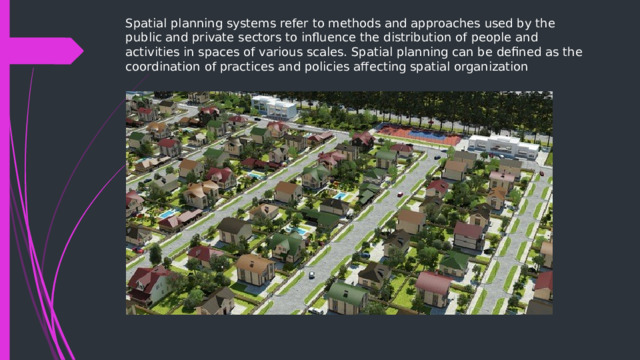
Spatial planning systems refer to methods and approaches used by the public and private sectors to influence the distribution of people and activities in spaces of various scales. Spatial planning can be defined as the coordination of practices and policies affecting spatial organization







Вебинар для учителей
🎓 Свидетельство об участии ✨БЕСПЛАТНО!✨